Tag: virtual mapping
-
Building digital tools for sustainable forest management
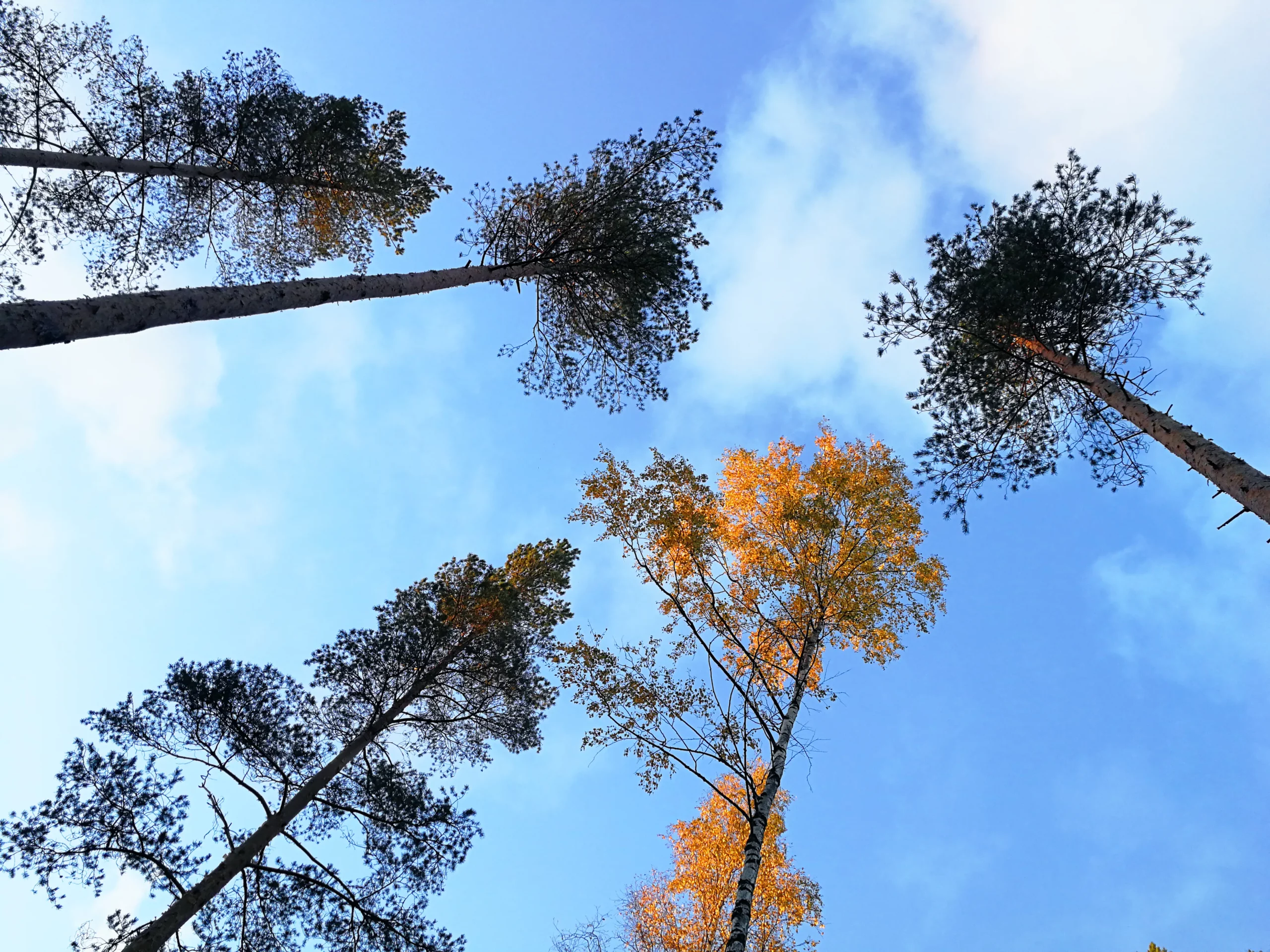
Here´s a sneak peek into the development process of the forestry layer of Avoin Map, the virtual mapping tool for sustainable development. Sustainable forest management is not easy — but digital tools can make it a little easier. Avoin, a not-for-profit organization focusing on digital tools for sustainable development, has developed its virtual mapping tool Avoin…
-
Reducing the environmental impact of peatland agriculture
“In the beginning, there were the swamp, the hoe — and Jussi”, says Finnish author Väinö Linna. But what comes next? This blog post and related article (in Finnish, behind a paywall) were produced as a part of the Makera-fund-supported OMAIHKA-project “Climate change mitigation in organic soils on cattle farms” coordinated by Natural Resources Institute Finland (LUKE).…
-
Saving the Baltic Sea — one field at a time
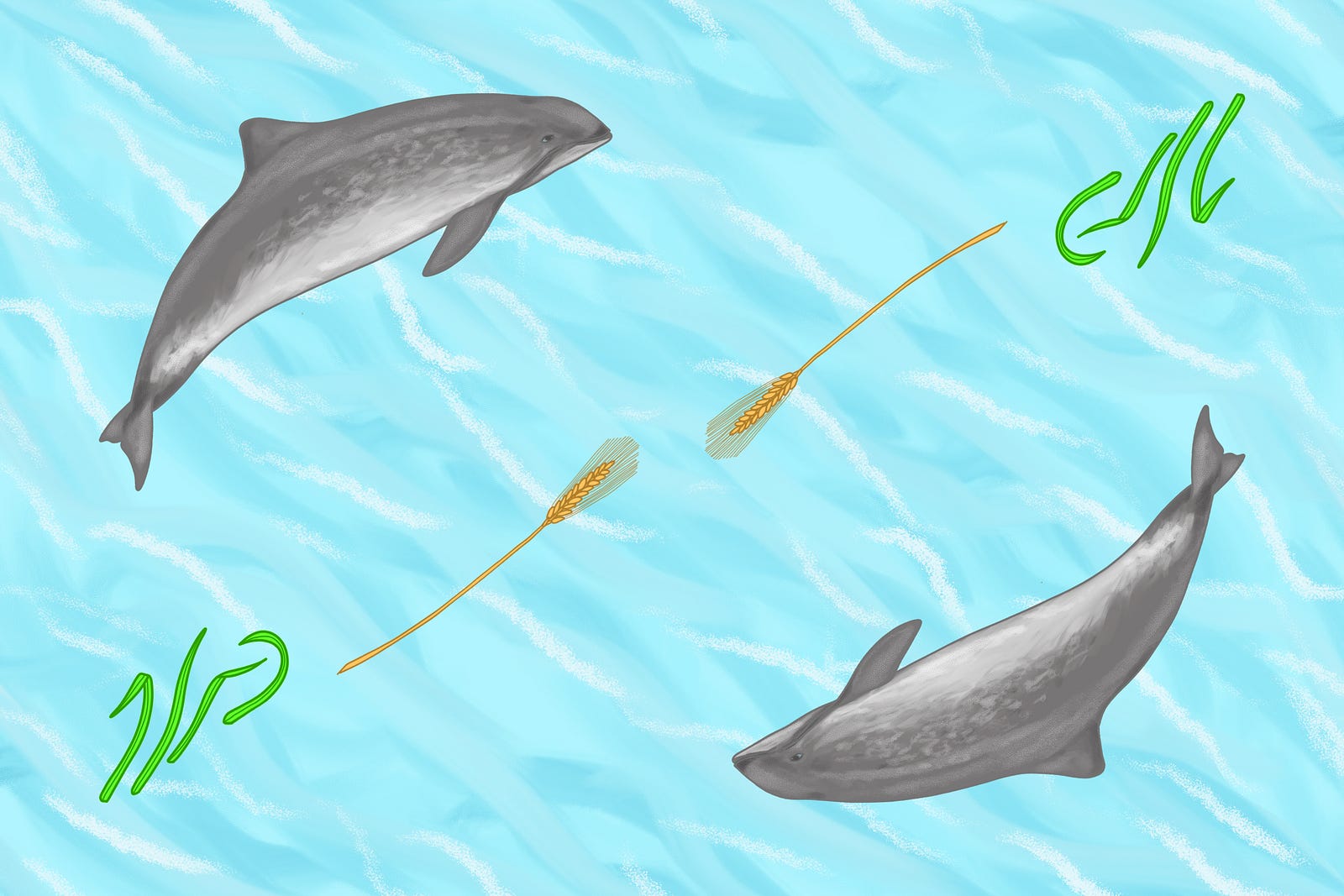
Who knew mapping agricultural practices might help protect the porpoises? As a Finn, I have had the opportunity to grow by the Baltic Sea. This globally unique marine area is low in salinity, comparatively shallow and home to many rare, protected, and adorable mammals such as the harbor porpoise and the Baltic ringed seal. Unfortunately,…
-
Fighting deforestation with satellite data

Let the Food and Agriculture Organization of the United Nations, the University of Helsinki, and Avoin show you how it´s done. They say Finland is “the land of thousand lakes”, even though in reality the number is closer to two hundred thousand. Nevertheless, as a Finn, I see the country first and foremost as a land…
-
In the open — making environmental data easy to use
Today´s technology makes it easy to send a message or even gifs and videos with our phones. We can navigate maps and purchase pretty much anything online. With these everyday activities made so easy, why is it still so difficult to easily attain environmental data? Avoin is a not-for-profit organization that strives to make work…