Who knew mapping agricultural practices might help protect the porpoises?
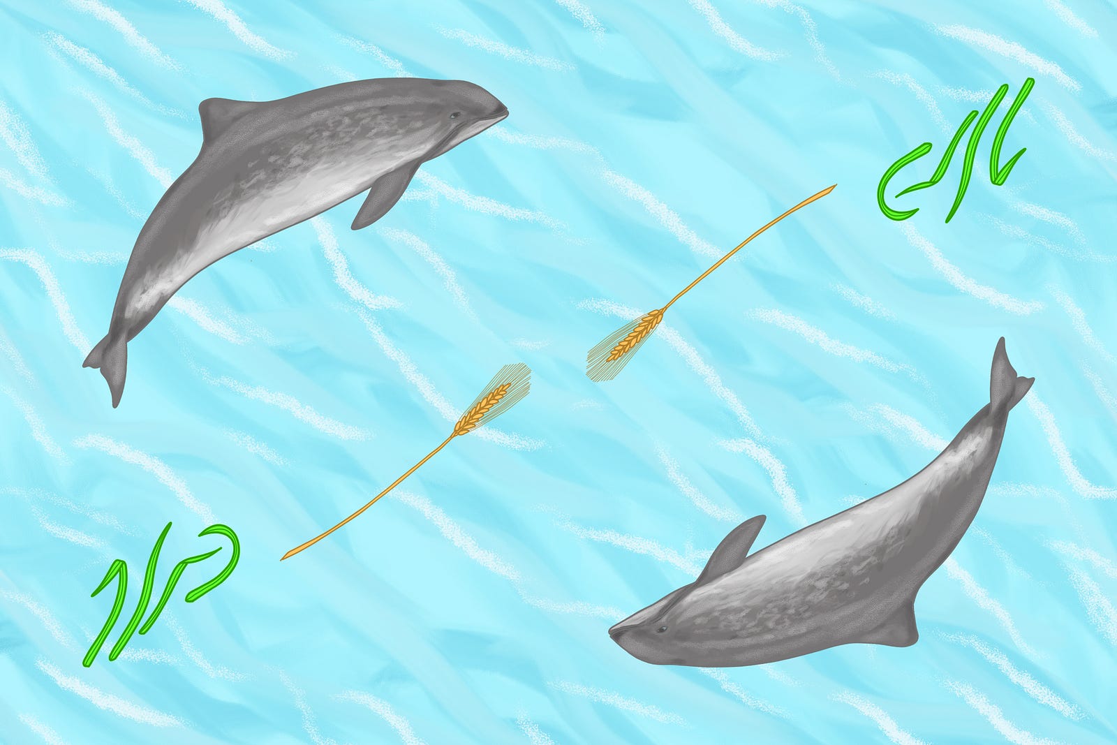
As a Finn, I have had the opportunity to grow by the Baltic Sea. This globally unique marine area is low in salinity, comparatively shallow and home to many rare, protected, and adorable mammals such as the harbor porpoise and the Baltic ringed seal. Unfortunately, the Baltic Sea is also one of the most polluted water bodies in the world.
The state of marine ecosystems affects not only the well-being of animals and plants but also people. Luckily, some organizations have acknowledged this and are fighting to revive the Baltic Sea. The Baltic Sea Project funded by the Bank of Åland supports environmental projects that aim to improve the state of the Baltic Sea. One of these projects is called “Open water and carbon data for farmers”, and it is run by Avoin. The purpose of the project is to make it easier for farmers to develop their agricultural practices to help protect the Baltic Sea.
There are strong linkages between farming practices and the health of marine ecosystems. For instance, nitrogen and phosphorus fertilizers used in fields with poor soil structure and high erosion levels run off into water bodies. Also, when used in too large quantities, fertilizers and pesticides cause environmental damage both on land and at sea. Avoin´s project aims to make it easier for farmers to evaluate the environmental impact of their agricultural practices. The ultimate goal of the project is to help farmers cultivate crops without compromising the well-being of the surrounding ecosystems, especially the Baltic Sea.
This article discusses the protection of the Baltic Sea through the sustainable management of agricultural practices. To find out about some of the other ways to protect marine areas, click here for the academic article “Twelve Recommendations for Advancing Marine Conservation in European and Contiguous Seas”.
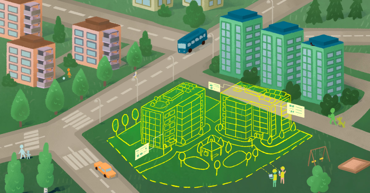
Avoin Map makes open data easy to use
Avoin started to develop Avoin Map, a visual tool for displaying environmental data in 2019. So far, Avoin Map includes fundamental environmental information about Finnish forests, wetlands, biodiversity, buildings, and global air quality for a person viewing it without logging in. There is also a possibility to log into Avoin Map as a farmer. When logged in, a farmer is currently able to see the shape of their field blocks. During the project, Avoin Map will be developed further to include more agricultural information for the logged-in farmer, including estimates of water and carbon emissions for cultivated areas. The development will be done in collaboration with a consulting farmer.
Avoin Map utilizes Sentinel-2 satellite images from the latest year as its base. The rudimentary data visible for the logged-in farmer will include information about soil health and a rough water emission estimate. Additionally, a previously publicly unavailable water emission reduction model (attached link in Finnish only) by the Finnish Environment Institute will be integrated into the Map during the project. This model calculates water emission estimates for different farming practices based on a drainage basin map of Finland.
Avoin Map will provide logged-in farmer carbon emission estimates based on an open carbon footprint calculator launched in 2015 by the European Union. Currently difficult to operate, this Excel-based calculator will be modified so that it can be easily used inside the Map (click here for the original calculator). Some of the coefficients the calculator uses will also be updated to correspond with the latest relevant agricultural knowledge and the Product Environmental Footprint guidelines by the Joint Research Centre of the European Union.
A map to monitor the past and plan the future
A farmer will be able to both automatically export and manually fill in information about their farming methods and get more specific environmental impact estimates. After exporting or filling in the required agricultural data a logged-in farmer will be able to evaluate how changing the farming method affects emissions, and even how much different methods generate revenue for individual fields. Should the farmer take on new practices that increase growth in a previously stunted area, satellite images will prove the improvement from one year to another.
With the help of Avoin Map, planning for the upcoming year will become more convenient than before. A farmer is encouraged to fill in an annual report listing activities completed in the previous year. This will make it easy to see what has been done so far, making it easier to plan for the future, as well. In the future, the map will provide recommendations for activities that may increase the sustainability of the farm, such as preventing soil compaction, exercising crop rotation, and keeping the water table elevated in peat fields, among other things.
Apart from monitoring emissions, the aim is to make agricultural data on Avoin Map comprehensive enough to reliably estimate the overall sustainability of a farm. In the future, the idea is to have indicator metrics about biodiversity and the well-being of livestock available for the logged-in farmer. Farmers can use this as a competitive advantage when marketing their products and applying for financing from banks.
The project is just beginning, but there are high hopes for its impact. The head of the Finland Division of the Bank of Åland and the chairwoman of the Baltic Sea Project Anne-Maria Salonius says:
It is a pleasure to see, how far the project has advanced. Avoin Map is a concrete tool that will help reduce the over-fertilization of the Baltic Sea, and we are delighted to support its further development.
A fund to support sustainable farming development
Another significant goal for the project “Open water and carbon data for farmers” will be the establishment of a fund to support the farmers in their efforts to develop new, sustainable agricultural practices. Anyone can contribute to the fund monthly or with a single donation. Any Finnish farmer can use the fund to finance activities that advance sustainable development on their farm, such as the building of a controlled drainage system.
The projects for funding will be selected based on their estimated effectiveness. In the beginning, the aim is to prioritize development costs. As the fund grows, the goal is to also reward farmers for the positive environmental effects of their development projects. This will further encourage sustainable farming that preserves soil fertility, prevents water emissions, and protects biodiversity.
The Map and the fund together aim to help build farming practices that bring us one step closer to the clean Baltic Sea. Here, the wild porpoises swim free in clear waters — safe from human-induced harm.
Written by Tuula Cox. This text is the fourth post in a blog series by Avoin. The blog series discusses environmental protection and sustainable development from the digital point of view.
This project is supported by

This blog post was published via Medium.