Last updated 7.2.2026
This digital map applet supports sustainable zoning.
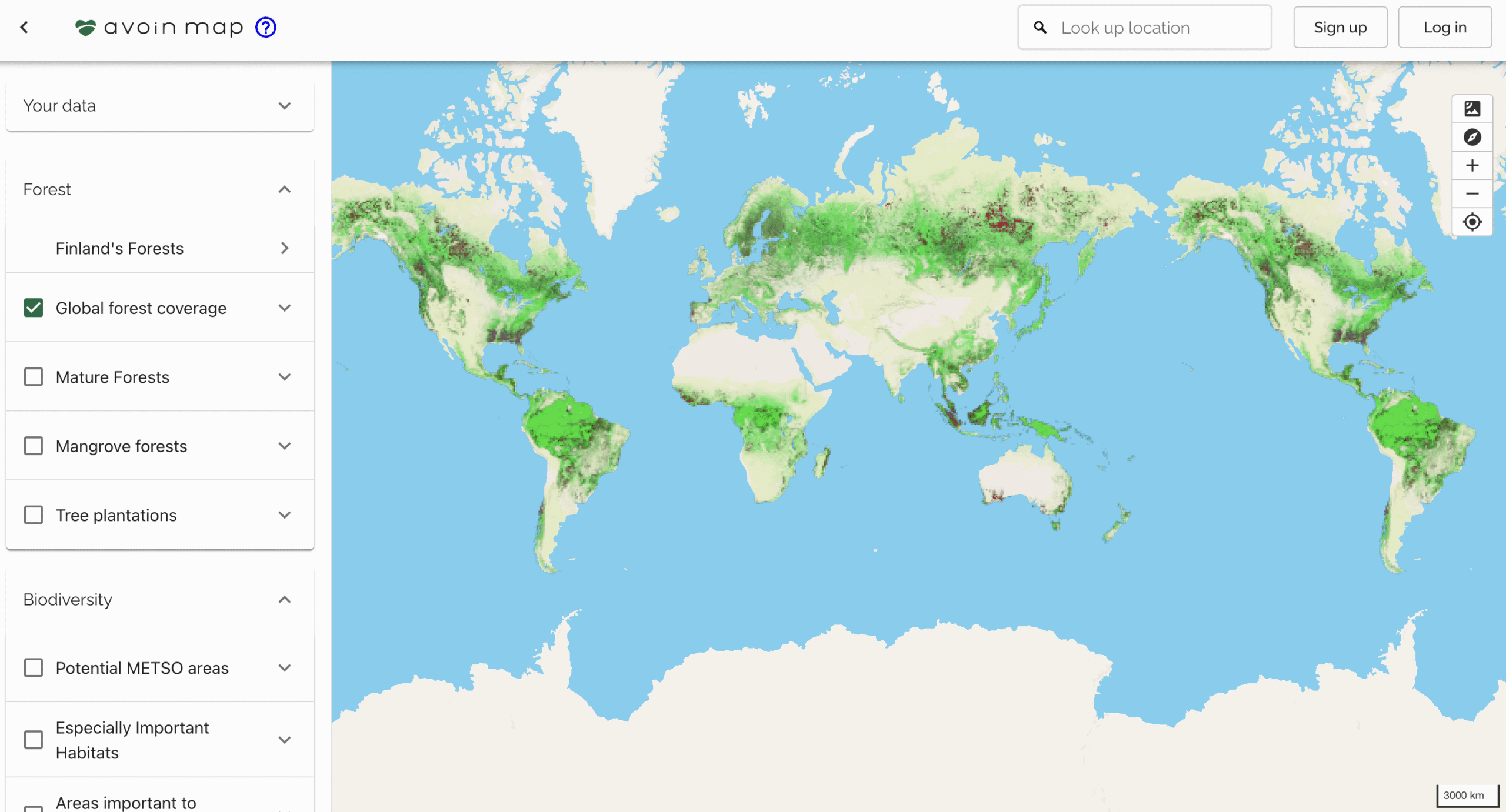
Zoning Map is a digital map applet that helps zoning officers evaluate the soil and vegetation climate impact of zoning plans and create more sustainable plans. The Finnish prototype was co-created with the Finnish Environment Institute and the Finnish Natural Resources Institute. The service is enhanced with biodiversity and socioeconomic metrics and scaled internationally using open-source Avoin Map technology.
Status and news
Published, 100+ monthly unique zoning plans evaluated.
Beta release expected in 2026.
Illustration: Tuula Cox, Avoin