Last updated: 23.8.2025
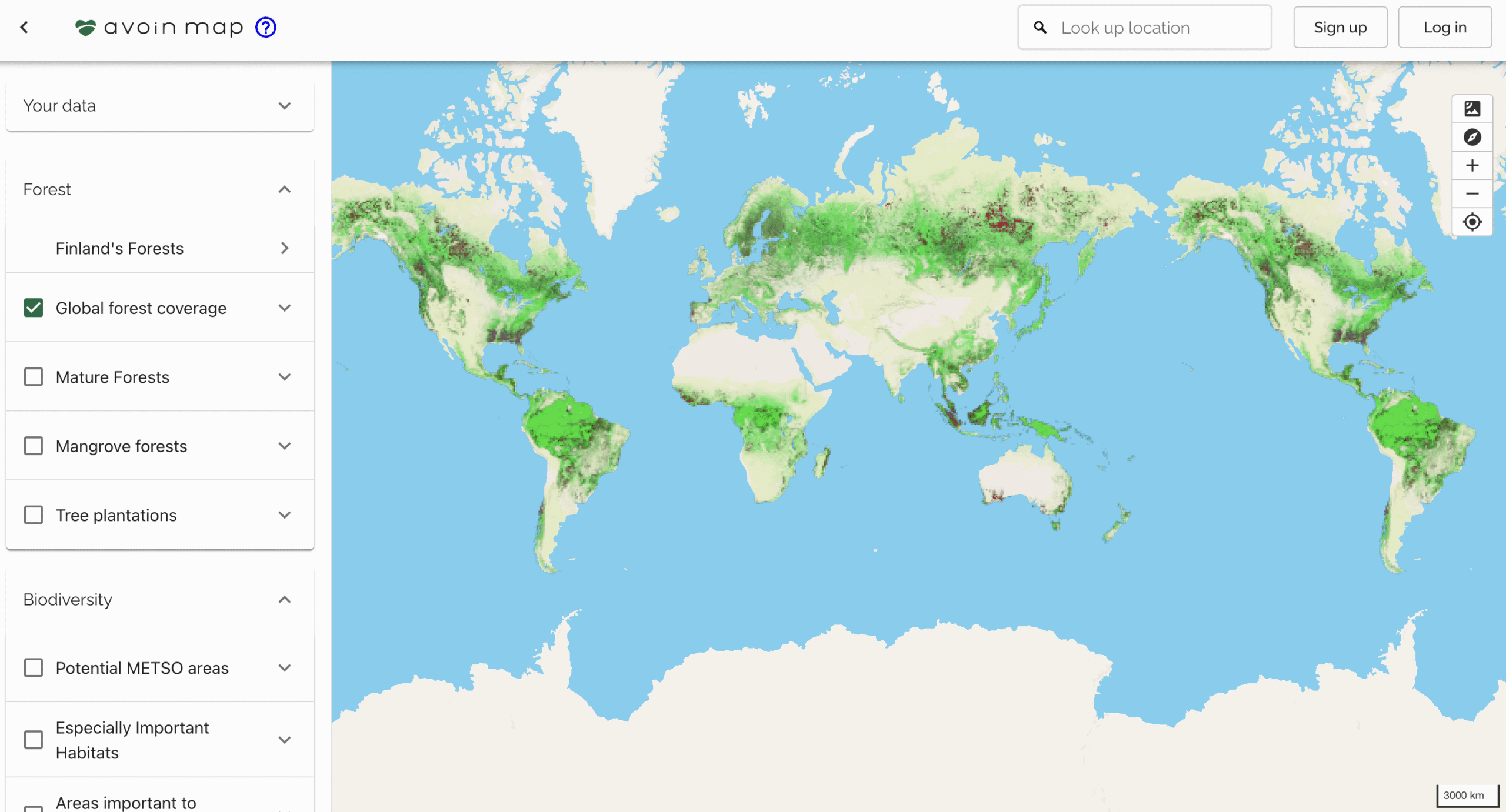
This project started the development of Avoin Map, a sustainable mapping tool.
The first version of Avoin Map provided an evaluation of the field environmental status in Finland in 2019. A follow-up project developed a tailor-made user interface design for farmers to evaluate carbon and water emissions and emission reduction potentials of a farm and its plant and animal products.
The project resulted in Avoin Map web service infrastructure, piloting the free Solagro -Carbon Calculator, the Finnish Environment Institute’s Vemala -water runoff models, and Natural Resources Institute Finland’s carbon calculation methods for farming on peatland fields.
Status and news
National pilot projects are under development, but not financed yet. Stay tuned for the realisation of a complete web service turning complex agricultural science to understandable decisions for all.
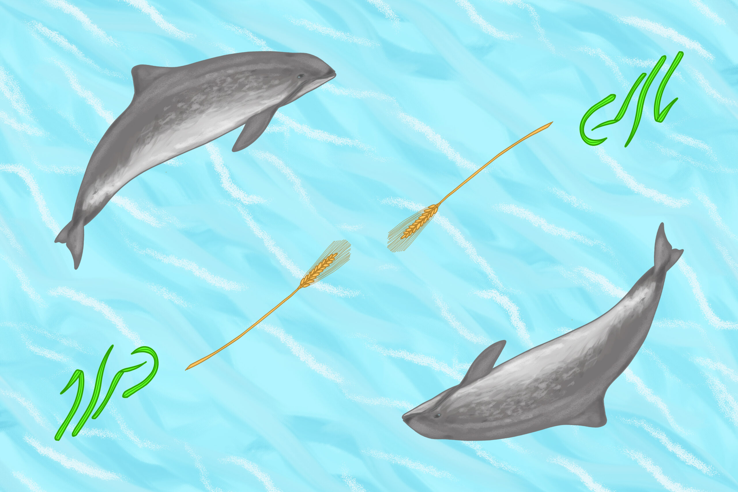
Illustration: Tuula Cox, Avoin


