Last updated: 7.2.2026
This collaborative project resulted in a digital map service for sustainable zoning.
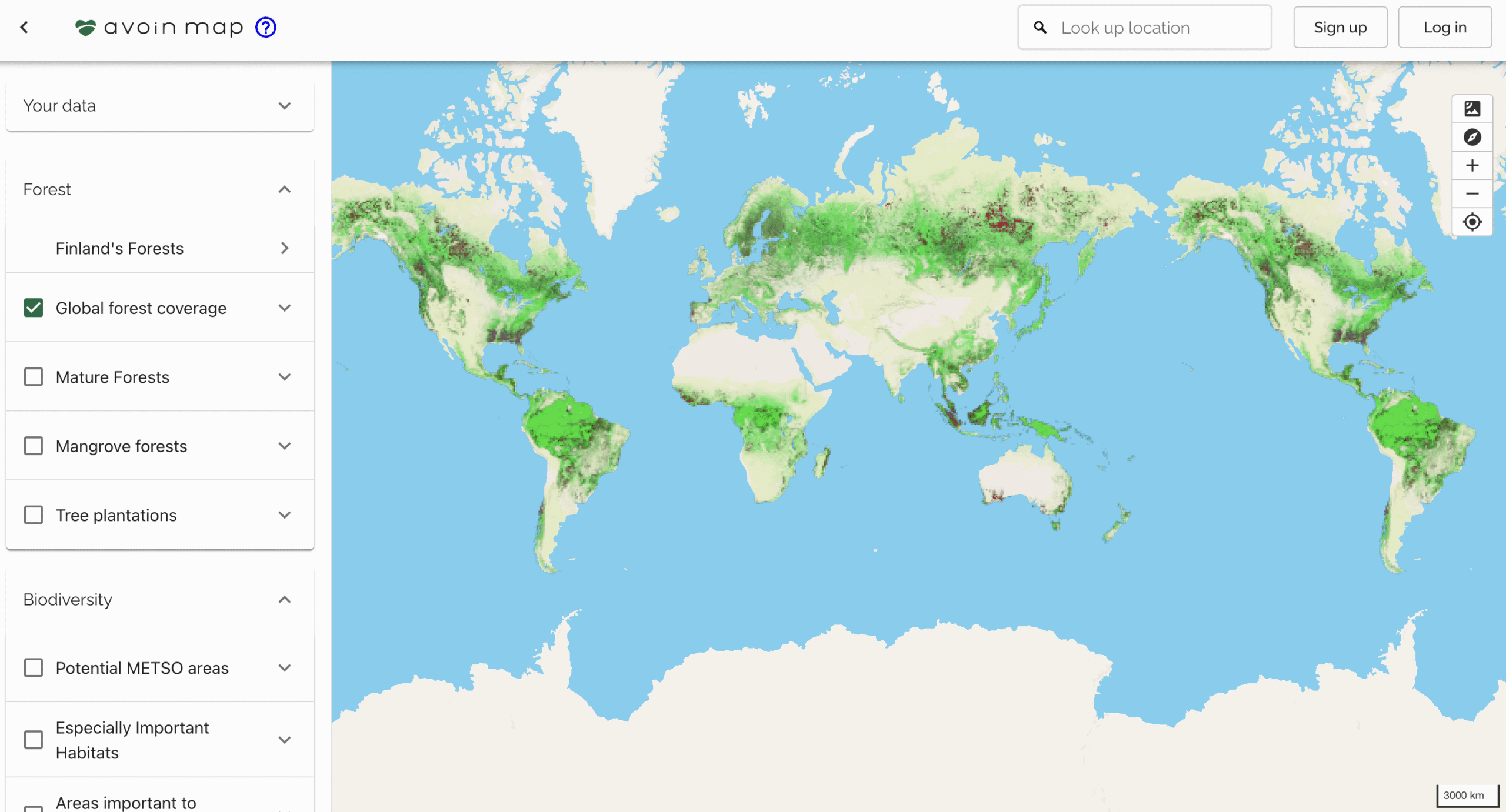
A collaborative open-source project by the Finnish Environment Institute, Natural Resources Institute Finland, and Avoin. In this project, we created an open-source web map application for zoning officers. With the app, they can evaluate the soil and vegetation climate impacts of zoning plans and create more sustainable plans.
Status and news
The service is maintained by and further developed by Avoin.
New energy grid features and map layers are expected in 2026 in connection with the Finnish Environment Institute’s REPowerCEST project.
Links
https://hiilikartta.avoin.org
https://www.syke.fi/fi/projektit/kaavoittajan-karttatyokalu-hiilikartta
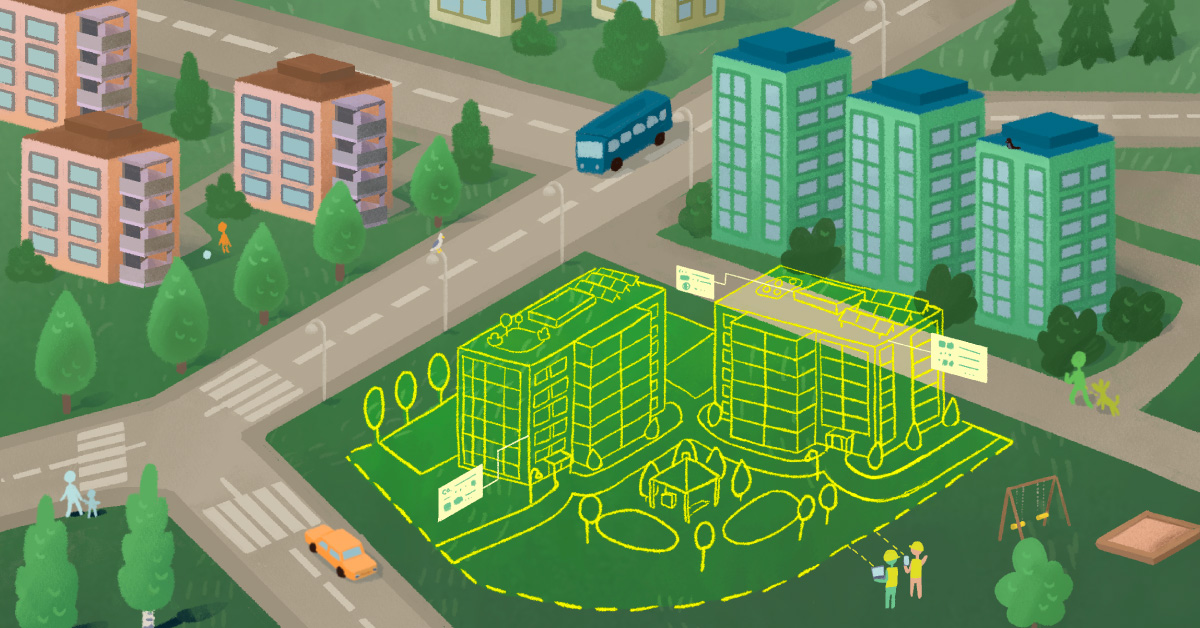
Billboard
Illustration: Linda Mandell, Avoin