Last updated: 4.10.2025
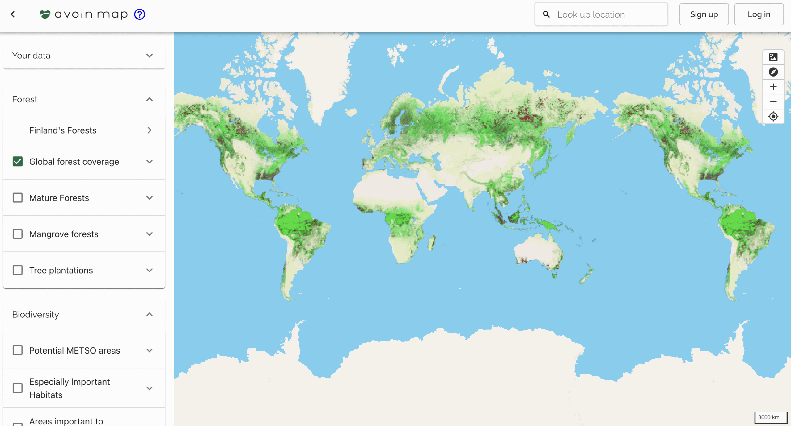
This open-source mapping tool assesses the environmental impact of a farm.
Supported by the Ministry of Agriculture and Forestry and Ålandsbanken, the Agricultural Map is an open-source mapping tool for assessing the profitability, carbon and water footprints, biodiversity, and water impacts of a farm and region. It presents agricultural modelling based on open statistical and spatial data, as well as more detailed information provided by the landowners. The service is still in the development phase.
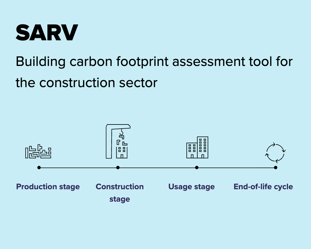
Stage
In development, a beta release is expected in 2026.
Illustration: Tuula Cox, Avoin