Today´s technology makes it easy to send a message or even gifs and videos with our phones. We can navigate maps and purchase pretty much anything online. With these everyday activities made so easy, why is it still so difficult to easily attain environmental data?
Avoin is a not-for-profit organization that strives to make work for sustainable development easier by changing how we process and display environmental data. I sat down with Avoin´s chairperson Otso Valta to have a chat about data´s role in advancing sustainable development. We will find that in this area, convenience is key.
Author´s note: In this article, sustainable development is understood as a wide range of global activities that aim to advance the 17 sustainable development goals set by the United Nations.
How do you see the role of data in environmental work?
It does not matter whether you are a regular citizen, a farmer, or a decision-maker — getting relevant, well-organized information about the environment is complicated. Often, one of the great challenges is finding data about the effects of environmental work. Nevertheless, being able to model and analyze these effects is vital for effective action planning for sustainable development.
What made you first realize how important data management is for sustainable development?
One of the first projects Avoin tried to tackle was the protection of Mangrove trees. Mangrove forests have many positive environmental effects — they prevent erosion and act as significant carbon sinks, as well as provide shelter for birds, mammals, and fish. We wanted to find a reliable way for anyone to financially support the protection of Mangrove forests. The idea was that there would be a website with a simple button. When you would press it, you could donate money to a protection program.
Soon enough we realized that it is quite difficult to make sure the donations actually protect the forests. For this to happen, the money would need to be directed to an organization whose positive impact on the forests can be verified. While there are plenty of organizations that work with Mangrove tree protection, few of them disclose enough data on the true environmental effects of their conservation efforts. This is because traditionally, conservation work is financed based on written, often scientifically vague reports.
But how can we expect people to financially support environmental work, if they cannot be sure that their money is making a true difference?
Up-to-date environmental data is needed to develop and execute scientifically accountable conservation projects. The Mangrove project helped us understand how important it is to make such data not only accessible to conservationists but to the general public, as well. It also helped us see how making environmental data virtually available at all times could help conservationists develop their work further. These realizations laid the groundwork for our virtual mapping tool Avoin Map.
Was having a virtual map to present environmental data your first idea?
It was not the very first one. The idea was significantly influenced by the Finnish Forest Centre when they made Finnish forest data easily accessible online. After having open access to a high-quality data source for forest resources in Finland we began to design an interactive forest management map. Its purpose is to help forest owners to optimize their forest management based on the things they care for: economics, biodiversity, water quality, and climate.
I am sure there are plenty of other good ways to display data, but this path seemed like the right one to go for Avoin. When it comes to environmental data, people usually like to see where the data subject is located. Attaching numeral data to a location makes it somehow easier to grasp.
When environmental data is concerned, we must also briefly discuss science. Is there enough environmental research going on right now, based on which you can plan projects that support sustainable development?
There is plenty of knowledge out there. For instance, we found a myriad of highly useful environmental models, once we started searching. There are resources such as the open-source program SIMO that help count the environmental effects of different forest management methods. The same applies to farming and construction, as well as pretty much all the fields we have worked with so far. After all, questions of sustainability are increasingly essential, and there is plenty of research surrounding the topic.
Estimating profitability is also often more simple than one might think. We have already found research and complete models for estimating the economical effects of environmental actions in forestry, and intend to become familiar with them in the field of farming in the future, as well.
What do you consider to be the main goals for Avoin, simply put?
Avoin is a Finnish word that means “open”, and contributing to open data and open-source code is our core value. Besides that, Avoin’s purpose is to advance the availability of data that supports sustainable development. We aim to make it easier to both measure the effects of sustainable development initiatives, as well as to estimate the profitability of such initiatives. Ultimately, we hope this will make it easier to plan environmental projects, as well as other projects that increase the well-being of humanity and ecosystems.
We strongly believe that advancing the state of the environment should have a monetary value. Let me use farming as an example. For an individual farmer, it may be financially risky to change their agricultural methods. Even if you knew that in the long term, more ecological farming methods may be more profitable for you, you cannot necessarily afford to invest in changes. In the future, we aim to develop a service model, through which farmers can get financial support at the beginning of their sustainability journey — at least to cover the costs of major sustainable management practices.
What kind of projects is Avoin currently working on?
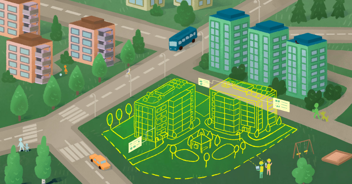
At the moment most of our projects have to do with Avoin Map, a visual tool for displaying environmental data designed for experts, activists, and ordinary people alike. Additionally, we are collaborating with The Food and Agriculture Organization of the United Nations (FAO) on a couple of projects, one of which is a mobile game for the youth about biodiversity, especially the forests of the world. Recently we also made an algorithm for FAO that aims to make it easier to filter out changes in forest cover from satellite images (to be discussed in this blog series soon). Additionally, we are a partner at the global coalition Climate TRACE developing independent tracking of greenhouse gas emissions. We are also going to expand our work in agricultural data and city planning this spring.
We have had the great fortune of obtaining funding to further develop environmental data processing. I want to especially thank the Baltic Sea Project by Ålandsbanken for the 65 000 € which helped the initial development of Avoin Map immensely. Currently, we are also provided a great deal of support for the further development of Avoin Map by the ESA Business Incubation Centre in Finland, for which we are very grateful.
Written by Tuula Cox. This text is the second post in a blog series by Avoin. The blog series discusses environmental protection and sustainable development from a digital point of view.
This blog post was first published via Medium.


